Sports & Fitness
 Activity Tracking
 Running Watches
 Adventure Watches
 Smart Watches
 Dive Watches
 Cycling
 Cycling Trainers
 Watch Accessories
 Cycling Accessories
 Recovery equipment
 Darts
Darts Smart Scale - Healthcare
 Automotive
 Navigators
 Handhelds
 Navigators Accessories
 GPS Maps
 Outdoor & Camping
 Backpacks & Wallets
 Flashlights & Accessories
 Multitools
 Tubular Headwear
 Sports Sunglasses
 Boards
 Headphones & Speakers
 Headphones
 Speakers
 Computer Accessories
 Mobile Accessories
 Αction Cameras
 Action Cameras
 Drones
 Accessories
 Consumer License Free PMR446
 Business Radio PMR446
 VHF-UHF Ναυτικοί
 Marine
 Marine GPS/Fishfinder Combos
 Fishfinders
 VHF-UHF Ναυτικά
 Bluetooth Speakers & Radios
 Marine Accessories
 Dog Tracking & Training Devices
 Device Accesories
 Grooming accessories
 Αξεσουάρ περιποίησης προσώπου


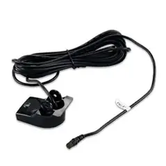
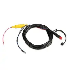
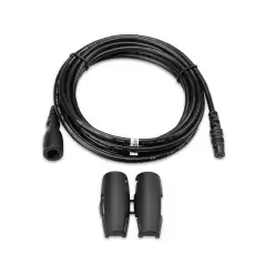
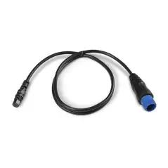
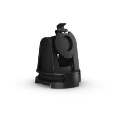
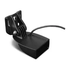
The STRIKER™ Plus 4 fishfinder with a bright 4.3” display and built-in GPS features CHIRP sonar for crystal-clear images and Quickdraw Contours map drawing software, which stores up to 2 million acres of content with 1-foot contours. The built-in GPS lets you mark and navigate to waypoints and shows your boat’s speed.
 Garmin Quickdraw Contours
Nobody knows the waters you fish better than you and your fellow fishermen. While you are trolling the shorelines and the depths, Quickdraw Contours mapping software creates HD fishing maps of the places you’ve been. No special knowledge is required. STRIKER™ Plus 4 can now store up to 2 million acres of your Quickdraw Contours maps with 1-foot contours.
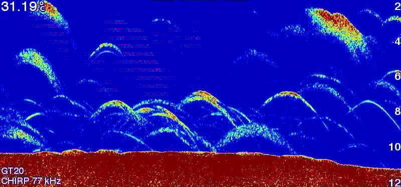 CHIRP Sonar Clarity
The STRIKER™ Plus 4 fishfinder includes Garmin CHIRP technology for a higher level of clarity and detail that you have come to expect from Garmin. Crystal-clear sonar images provide remarkable target separation and resolution in shallow and deeper water. Bottom contours are more visible, even at higher speeds, and signal noise can be suppressed at greater depths for a timely interpretation of what’s below.
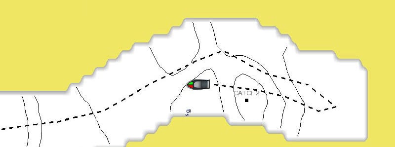
The built-in, high-sensitivity GPS finds and maintains your position anywhere you go on the water. The GPS allows you to mark waypoints for different locations. So, if the fish are biting in one spot, you can mark it, and return to it on your next trip. Mark docks, boat ramps and other locations on the lake, and create routes back to them for your next trip. GPS also allows STRIKER™ Plus 4 to show your speed on screen, so you can be sure you’re trolling at the right speed for the lure you’re using or in wake-controlled areas.
The STRIKER™ Plus 4 fishfinder makes fishing a breeze, and it’s built to work in any environment. The bright, sunlight-readable display gives you a clear view of what is below your boat, even on the brightest days. And the larger screen gives you a better view of what is happening below the boat. The intuitive user interface makes it simple to navigate to whatever feature you need, so you are ready for anything on the water.
Data sheet
Specific References
We will send a replacement (Credit Request). We will pick up the item you wish to return within 6 days. We hope you understand that we can only accept items for return if they have not been used or tampered with. Original packaging and accessories also need to be returned along with the item.
Για περισσότερες πληροφορίες πατήστε εδώ to get more details
No customer reviews for the moment.